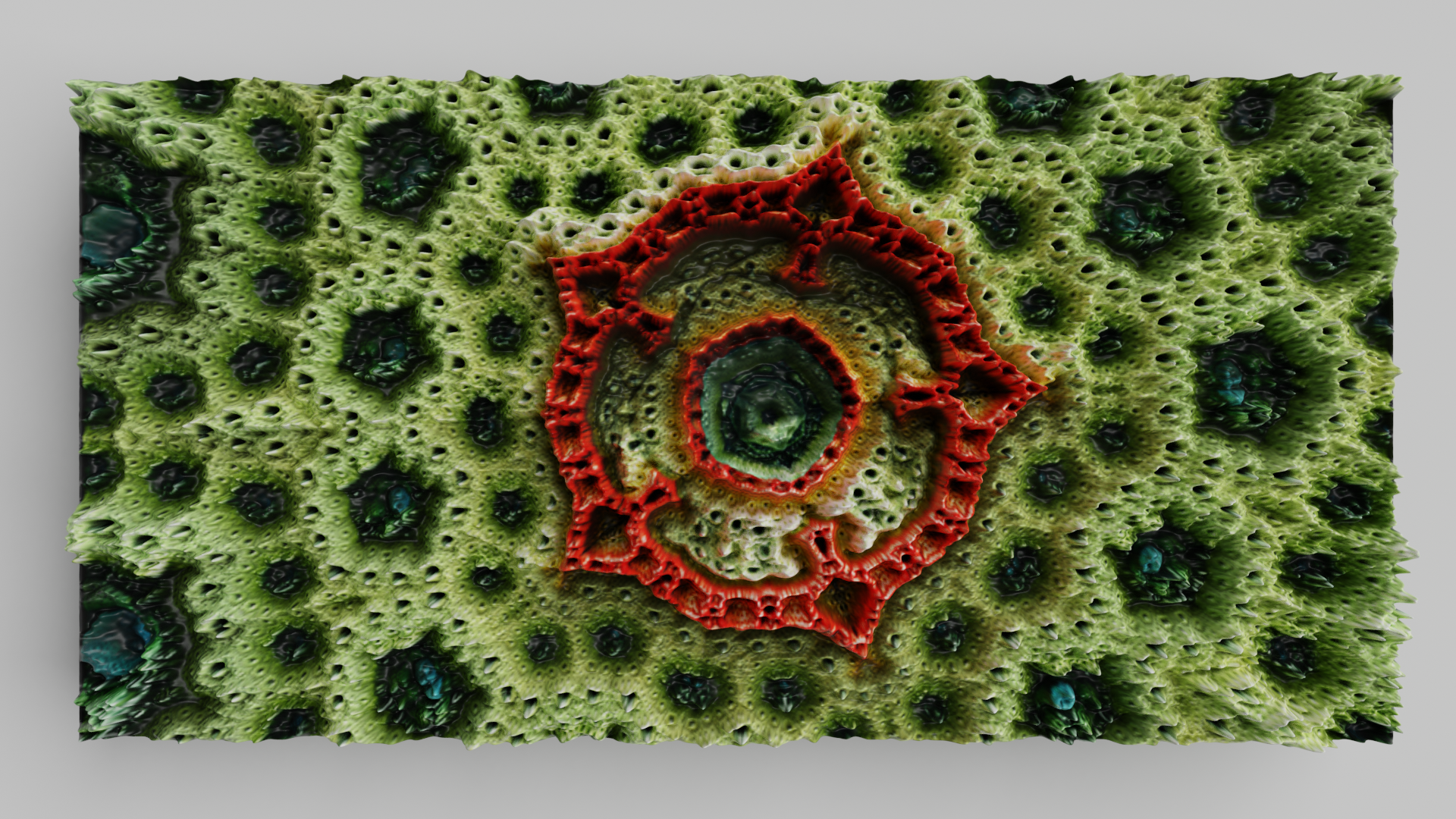
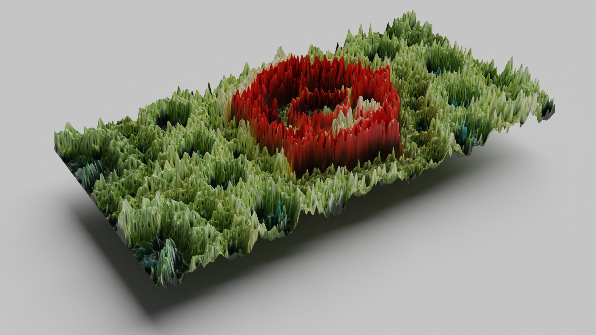
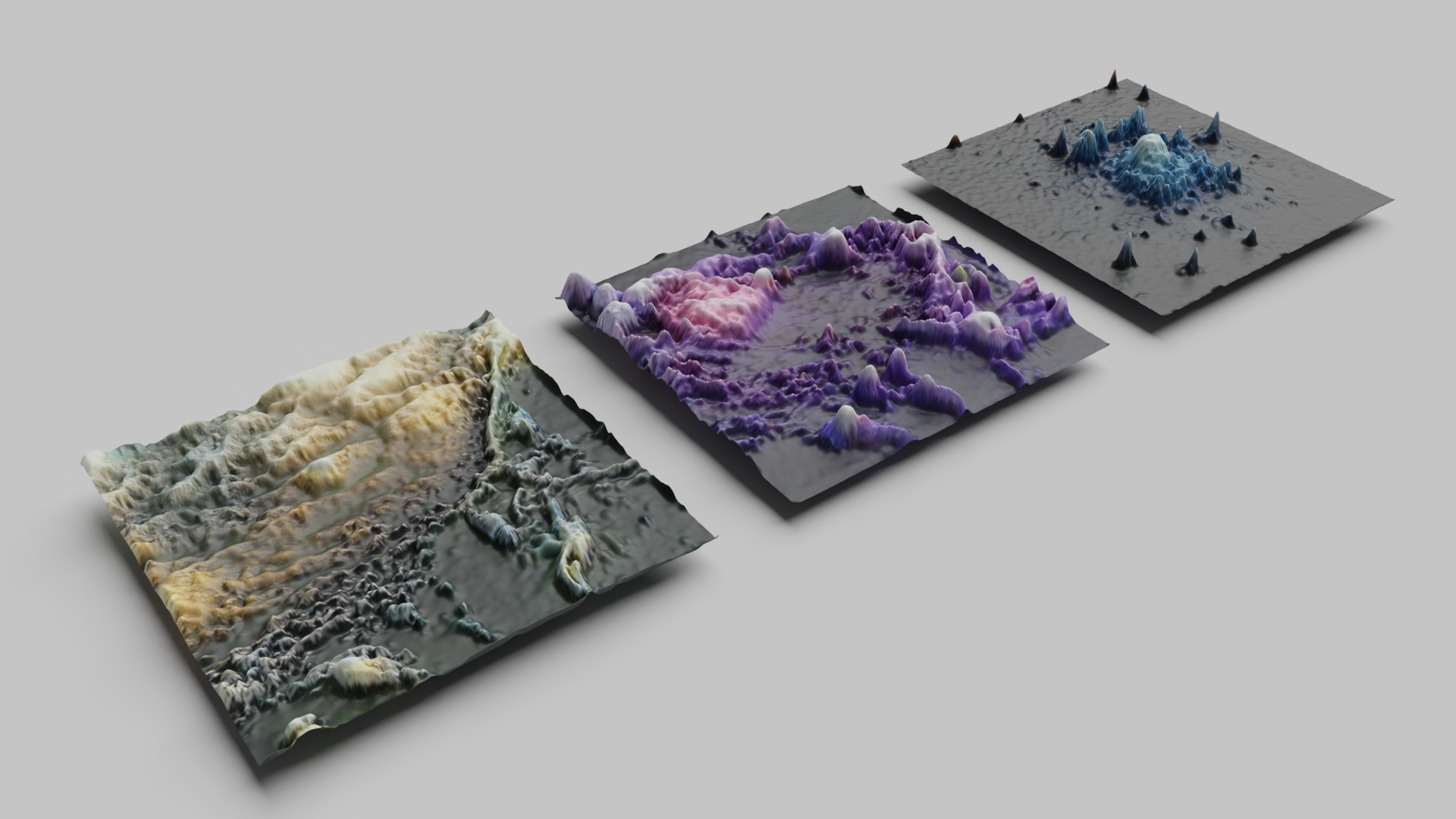
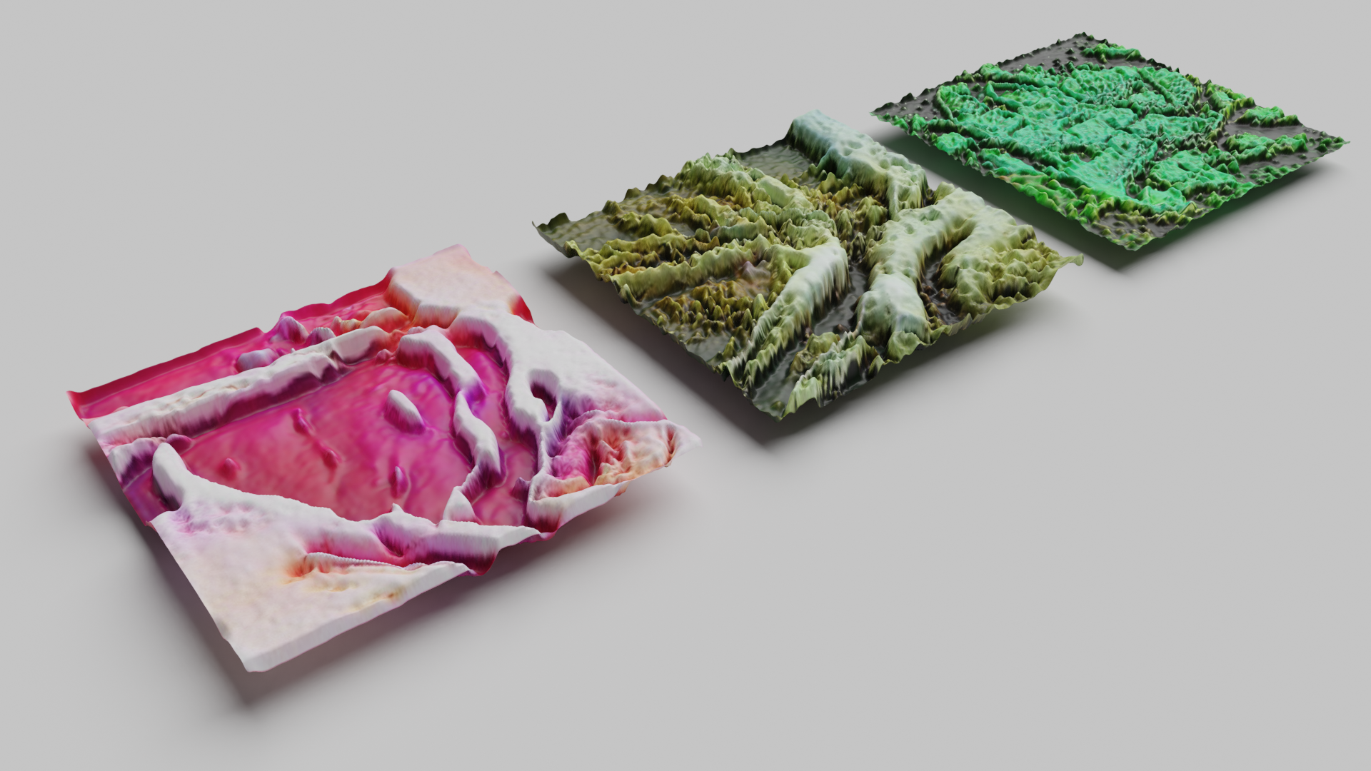
Simulated Life: Fractal Erosion
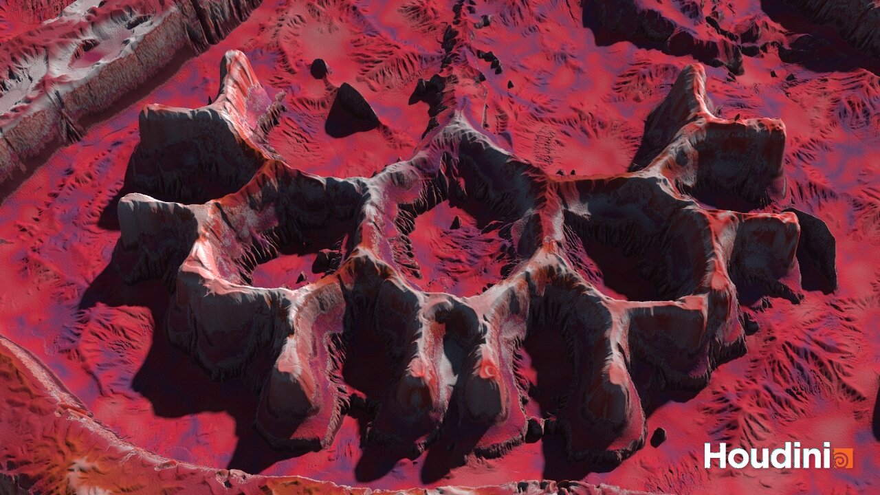
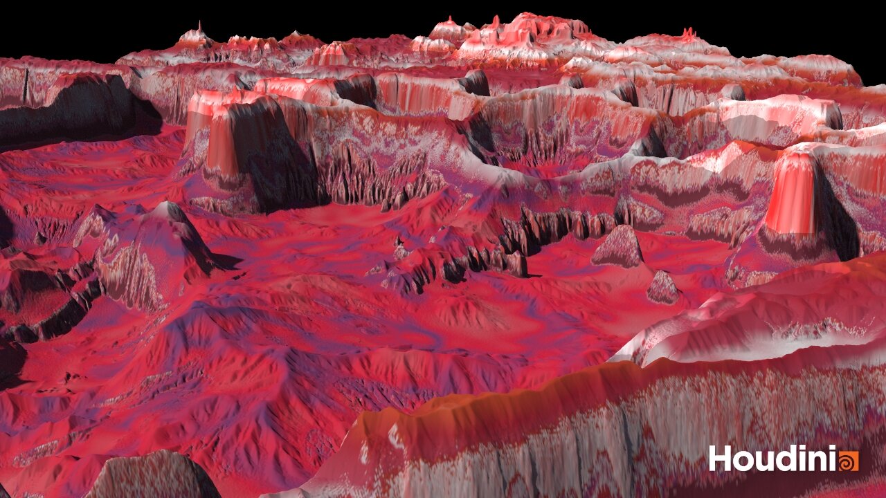
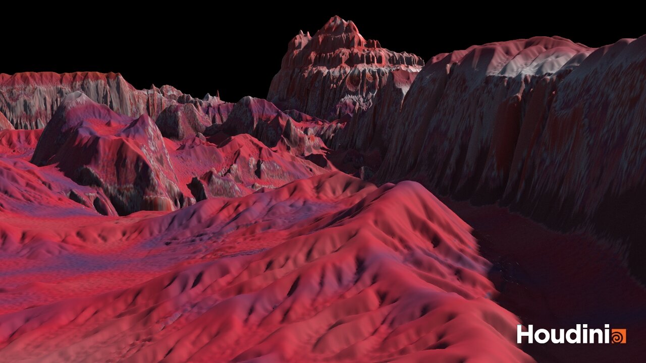
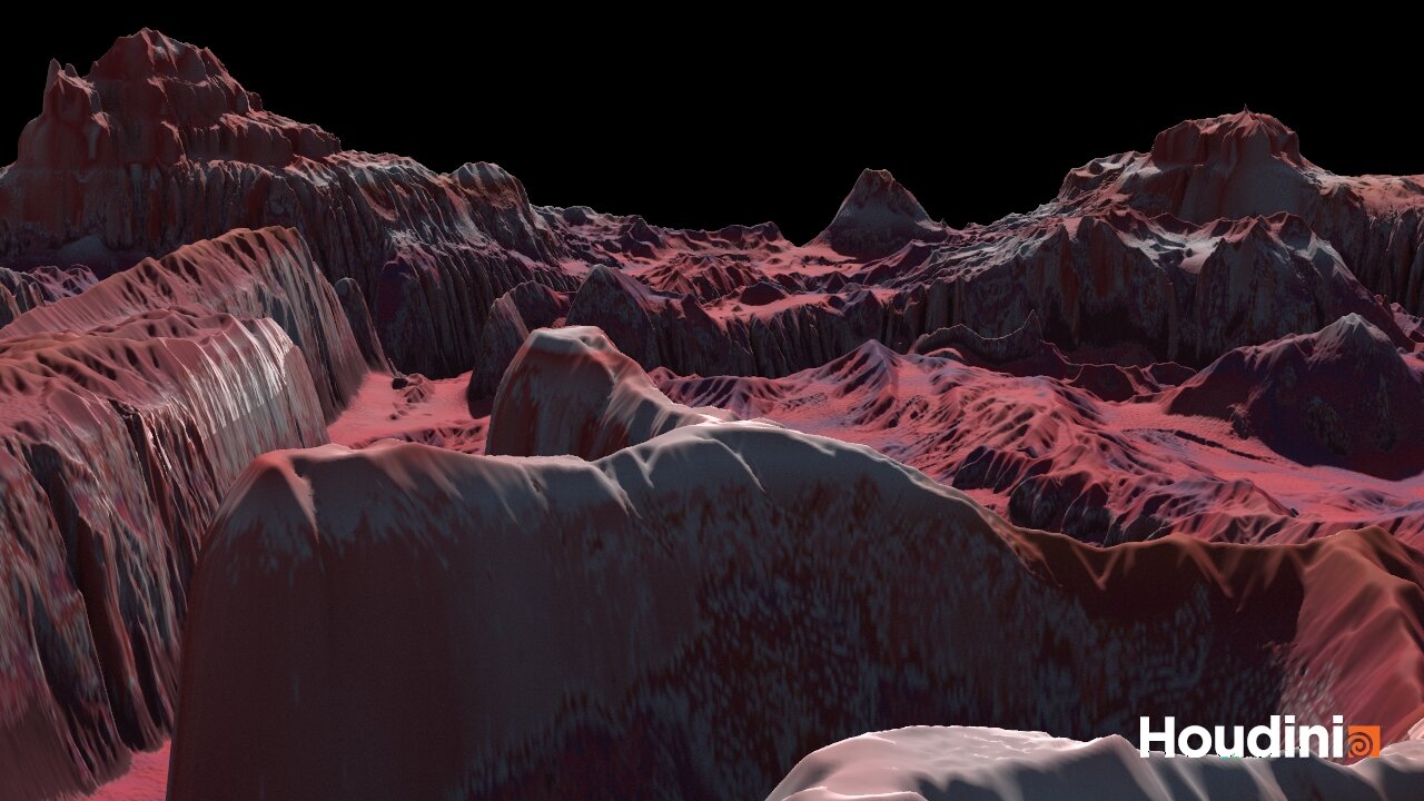
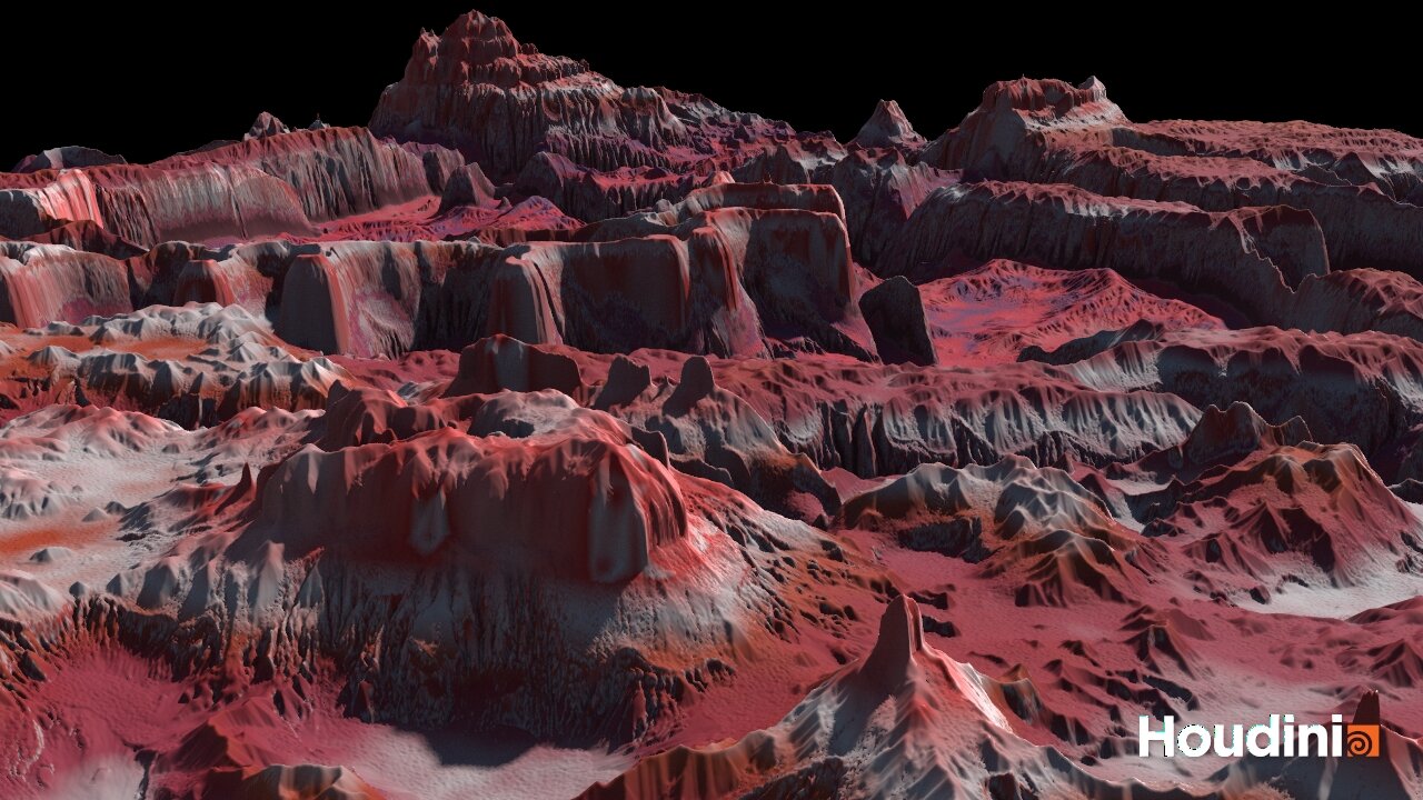
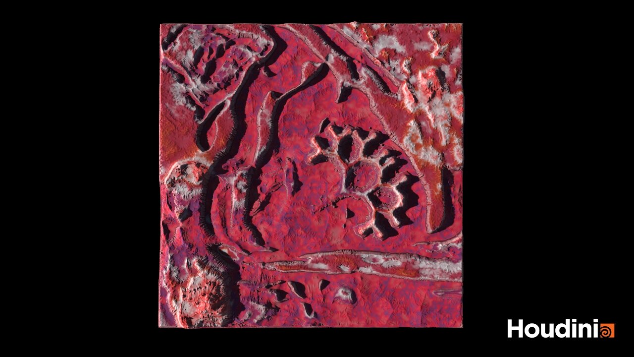
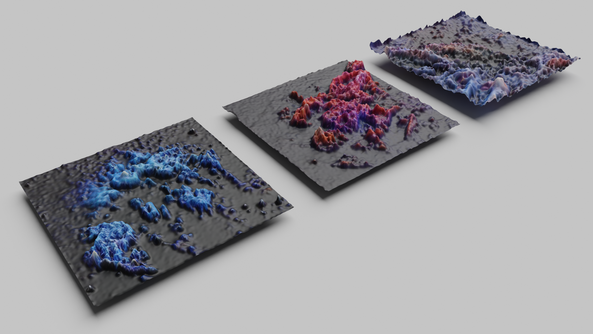
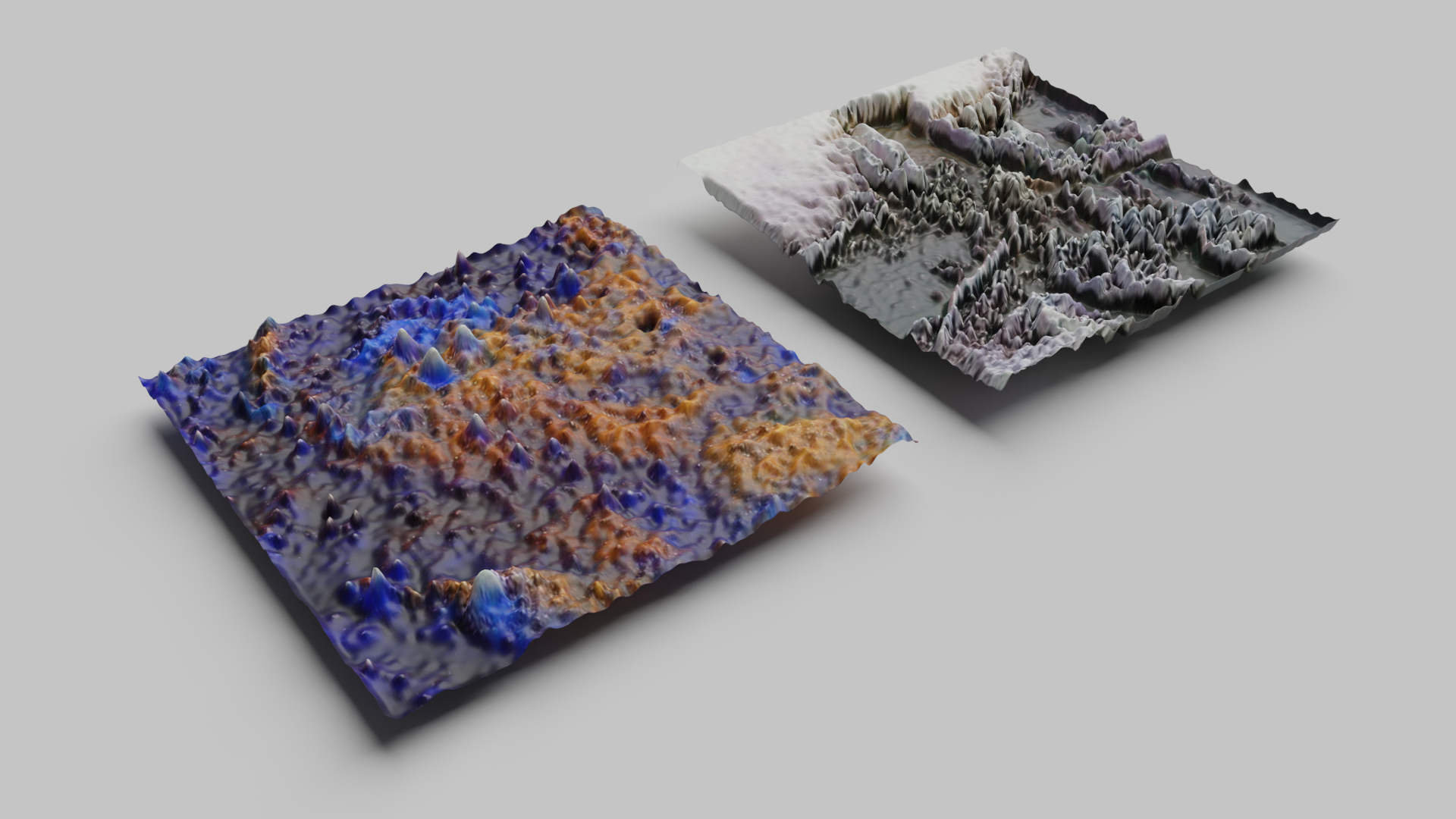
Building off of the results from my Fractal Entanglement project, I used the depth maps of GAN fractal images generated with RunwayML to create a more realistic landscape using procedural simulations in Houdini. The depth maps were used to create the basic features of heightfields, then added in more natural formations using noise displacement and erosion simulation in an iterative process, tweaking settings with each iteration to achieve the final look. I then strategically combined all four heightfields into one composite, and used the height data to procedurally texture the generated terrain.


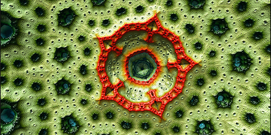
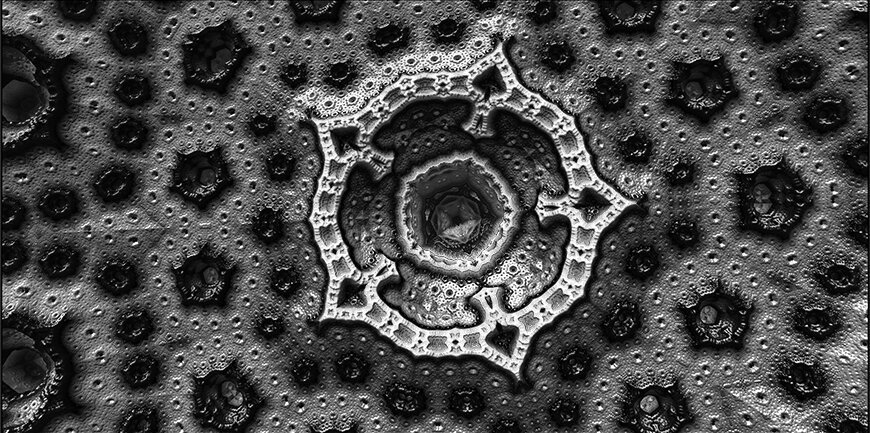
Simulated Life: Fractal Entanglement
This project uses machine learning to facilitate interactions between fractal patterns, mimicking the way different actors in an ecological assemblage encounter and transform each other, to create virtual landscapes. The images are generated using a GAN hosted on RunwayML, and a handpicked dataset of 200 fractal images. Images are converted into 3d geometry using Photoshop and Blender, and the VR experiences to explore the landscapes are hosted on Mozilla Hubs. This project is still ongoing, I’m working on bringing the landscapes into Houdini in order to model them through an erosion process, populate them with L-system based plant forms, and run fluid simulations for the bodies of water. An final VR experience is also planned were all of the terrain models can be viewed in a virtual gallery.
Latent Spacewalk of Generated Images
Image to Geometry Conversion Process